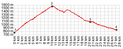
| |
| |
Three roughly parallel passes cross
this area of the Pyrenees. This one is the highest
of the three, but only by about a hundred meters.
In cycling popularity, measured by the number of
cyclists on the route, it lies in second place.
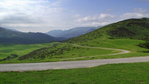
Hourquette means something like "farm", and the
west side really is an immense high, open grazing
pasture for all kinds of animals.
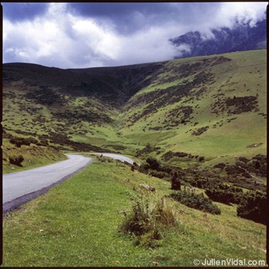
Approaches The road contours around a steep mountain, that
culminates in three separate peaks at about
2700meters. The last several km before the summit
are in deep shade and forest. The road reaches a
point that is slightly higher than the pass
itself, immediately before reaching it. At the top
is a curious Himalayan looking prayer flagstone,
as well as a herder's building. The viewshed
changes towards the north. An endless green
rolling carpet landscape recedes away from the
pass below towards the north. From North. (described
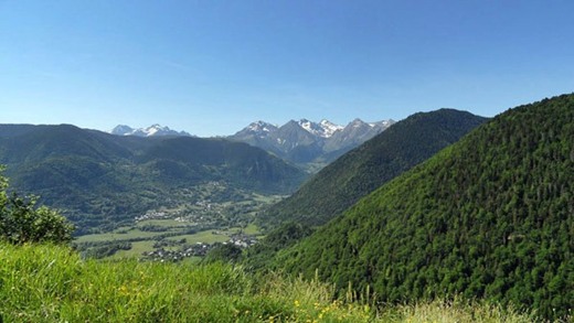
downwards) By the time I really start the descend
a dense fog has pulled over the mountain meadows.
All the sheep, cattle and horses seem to float in
the mist and the mountain above can only be
imagined. I include one picture that mimics that
scene. The others are taken with better light
conditions than I had. There are an impressive
number of herd animals roaming around on this
side, and they have an ample selection of grasses
over a wide area to choose dinner from.
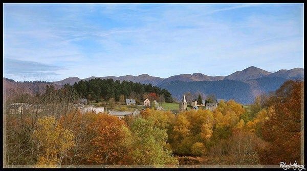
After the road enters forest it winds around so
much that I loose my sense of direction. But the
gps gets me back on track. The road meets up with the descent from Col d'Aspin at point
3 and then continues to the low point of the
tradtional Tour de France route, before climbing
again to Col du
Tourmalet
History Cycling-Tour de France: Unlike its
super-popular neighbor the Col d'Aspin, this
pass was only used twice in the Tour de France
2011 and 2013. Apparently the road has been
resurfaced for the race. It is still in very good
condition, except for the occasional cow
droppings.
A Dayride with this point as highest summit: COMPLETELY PAVED: ( < Col du Tourmalet | Col du Tourmalet > ) Hourquette d'Anzican , Col d'Aspin , Col de Lancon : La Mongie > down east side of Col du Tourmalet > Saint-Marie de Campan > Payolle > Col d'Aspin > Arreau > up D618 > Borderes de Luchon > up D25 > Col de Lancon > Lancon > Gouaux > Bazus-Aure > Guchen > Anzican with detour > Hourquette d'Anzican > Saint-Marie de Campan > back to La Mongie: (r5:16.5,4) Notes: computer with gps and distance data was stolen A Dayride with this point as intermediate summit is on page: Col d'Azet
|
|||||||||||||||||||||||||||||||||||||||||
|
|
advertisement |
|
|
advertisement |