| |
| |
Col d'Aspin
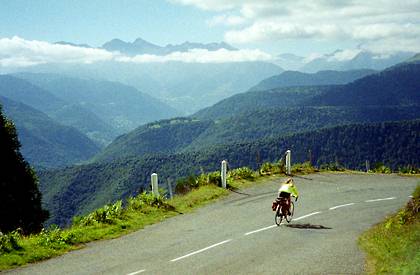
... Another Pyreneen pass that owes its reputation and volume of bicycle tourism to the Tour de France. Apparently it is just too tempting to combine it with the most popular Tour de France pass ever, the Col du Tourmalet. Both sides of Col d'Aspin are adorned with elevation/distance data packed road makers, that inform the gazillions of passing cyclists every km, about how much more work they have to do to get to the summit. The top also has some very nice views.
At approximately point 2, two other pass routes
divert from the road, right before: Hourquette d'Anzican,
and if you just want to get away from it all Col de Beyrede, a
little after point 2. Staying on course for Col d'Apin, the road, now
with less traffic, starts climbing in wide
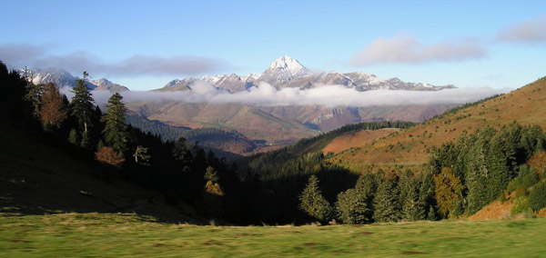
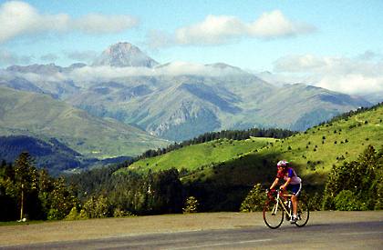
meanders. Pic du Midi de Bigorre shows up for the
first time in the distance, s perfect cone shape
with a rocket ship on top - or actually that's a
transmission tower. The road climbs above a small
low key ski lift, Then it's back into the forest
until the last couple of kms, when the pass
appears ahead as a gentle saddle, that just
manages to reach above treeline near its crest.
From East. (described
downwards) If the light does not deteriorate with
the afternoon, there is also a great view of Pic
du Midi de Bigorre and its adjoining range. I
include a few perfectly lit photographic
compositions of this scene, as well as a more
realistic version, that one might see, arriving
here sometime in the early afternoon. Another
picture of the same scene (also in the slide
show) appears to be a lucky shot from a
moving car but with perfect late lighting .. to
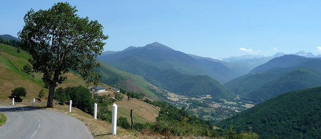
top it off - probably taken with a cell phone. On the other side is a panorama of deep valleys
of the Aure with the high peaks of the Pyrenean
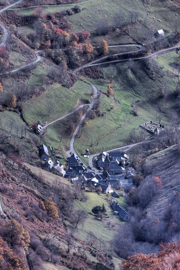
main ridge behind it. And below the road at hand,
traversing curves, collecting fields and farms and
cows, and a little further below even following an
arcade of trees. This side is more open in
vegetation, and has a greater variety of views. History Cycling-Tour de France: The pass has been
on the Tour de France route an incredible 71
times, first time in 1910. 62 of those 71 times
were after WW2
A Dayride with this point as intermediate summit is on page : Hourquette d'Anzican |
||||||||||||||||||||||||||||||||||||||
|
|
advertisement |
|
|
advertisement |


 left:
Copyright: VirtualAlps.com
 left:
Copyright: VirtualAlps.com