| |
| |
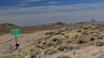
Saulsbury Summit US6 hops over 5 gentle summits on
its way from Tonopah to Ely, The first 4 come
fast and furious, one after the other after
leaving Tonopah. This one is the middle and
highest of those 3 by a small margin.
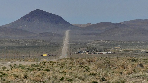
 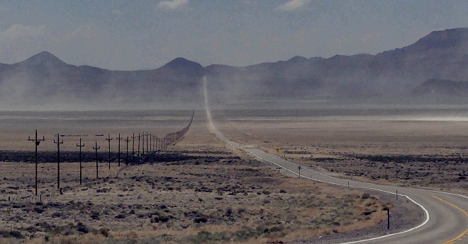 Approaches And these are the things that are
typical: a mildly curving climb between distant
rock outcrops. What you think at first is the
summit never is. It comes a little later. On top
the road is lined with a large amount of gravel
area on both sides. There are signs with name and
elevation on the first three summits.
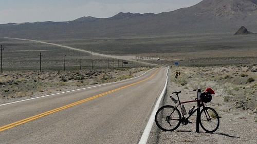
From East. (described
downwards) And the last is probably the most
typical of them all. Soon after gathering some
speed from the summit, the next valley traverse
comes into sight: a road straight as a ruler
heading for another gently alluvial fan opening,
traversing a dozen miles or so with several
changes from light to shade and back to light.
Dayride with this point as
highest summit
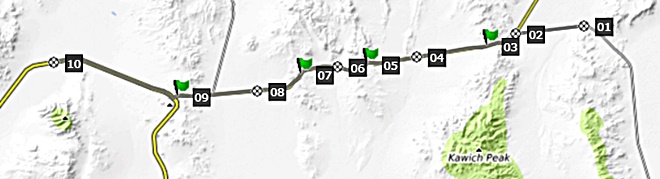
COMPLETELY PAVED: ( < Montezuma s(u) | McKinney Tanks Summit > ) Saulsbury Summit x2 , Warm Springs Summit x2 : Saulsbury Rest Area on US6 <> US6 west <> Warm Springs Summit x2 <> jct with Nv375 << turnaround point just before low point at 5250ft, just before jct with BLM road into Reveille Range: 62.4miles with 3610ft of climbing in 5:40hrs (garmin etrex32x 23.5.1) Notes: very strong south wind with lots of debris blowing into bicycle |


|
|
advertisement |
|
|
advertisement |