| |
| |
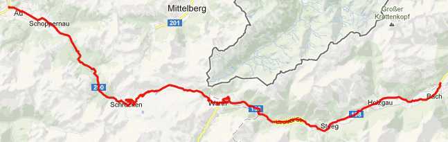
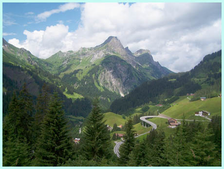
Hochtannbergpass
Hochtannbergpass can be a first
or last pass on an extended loop into the alps
from the north. While there are other passes north
of here, once you have traveled south up the
Bregenzer Wald area in Austria and want to
continue south, you have to cross this pass into
the Lech Valley. You have no other choice, and
this pass is a nice cycling route to be forced
into. Hochtannbergpass has relatively little
traffic. The mountains on the north side of the
main divide in the alps are lower, but heavily
eroded so that the climbs are smaller but very
scenic
 Approaches From East. The Lechtal bike trail ends a
few km east of Steeg and the climb begins. It
starts as a wide road with relatively few turns
and a moderate 7 and a half percent climb. The
road leads through two open galleries. One looks
like it has an old road around it, but it does not
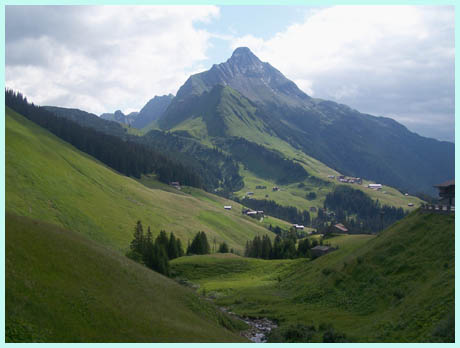
go through. By the time you reach Warth and the
turnoff to Flexenpass, the scenic splendors of
this road are readily apparent. To the right is
the Widderstein, a jagged horn like peak that is
not really very high but makes a splendid monument
in this alpine backyard. Warth itself is a ski
resort, but not the kind that has dozens of ski
overruns over the road. The road leads through
another gallery and quickly climbs the pass. On
top are several short hiking oportunities, as well
as a small, out of place looking hotel.
From West. (described downwards). The
descent to Schroecken (not Schrecken, which is
further down the road) is much steeper. At one
point the road curves away from the mountain onto
a bridge or ramp, in order to switchback to the
other direction. Another horn like peak is the
perfect backdrop. Past this village is an amazing
waterfall tumbling down from a wall to the south.
The road flattens out completely in Schrecken at
the junction with the road to Furkajoch.
Continuing downvalley from here is a nice bike
path on the opposite side of the river than the
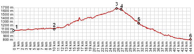
road. Tours Multi Day ride. (<Hahntennjoch)
A day on a fully loaded mountain bike, starting in
Steg over Hochtannbergpass down to Schrecken and
Egg measured 48 miles with 3200ft of climbing in
4:3 hours, including several miles of detours and
lots of time allotted to finding a room (m3:9.7.9) 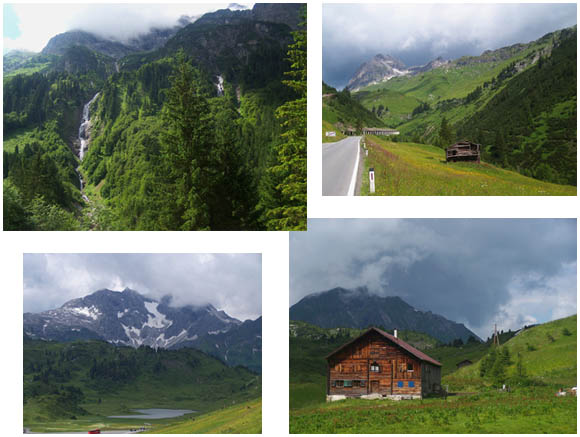 |
|
|
advertisement |
|
|
advertisement |