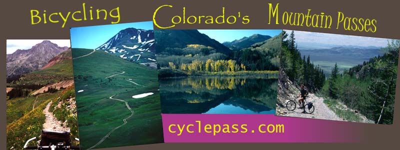
Welcome to
"Bicycling Colorado's
Mountain Passes". I
want to invite you on
a virtual tour over
Colorado's Mountain
Passes, as seen from
the seat of a bicycle,
but not only of
interest to cyclists.
All summit points are
linked on the
following map. In the
inset on the right of
the map pages you can
filter the displayed
summits by surface
type: paved, unpaved
or trails. The "more"
tabs bring up
additional summits,
some ot which are
linked to external
resources
MAP:
Colorado Passes and
Summits
The "recognized
passes" table contains
all major paved
passes, the majority
of well known unpaved
passes, and also many
lesser known divides
and historical passes.
But not all worthwhile
cycling climbs go over
named summits. The
tables reference many
of those.
When
looking for climbs
that reach a high (or
low) elevation, the
following table is more useful
The
last two tables are
arrange the summits
by approach heights,
also called
prominence, which is
a measure of how big
a climb is, top
elevation minus
starting elevation.