| |
| |
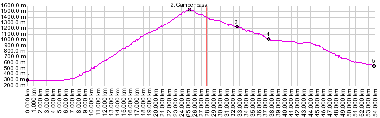
Gampenpass
(aka Passo di Palade)
This is one of two named, paved
passes on the plateau between the dolomites and
the Ortler Group of the alps. Even though
Gampenpass is higher than the nearby Mendelpass,
the later has the better views of the dolomites,
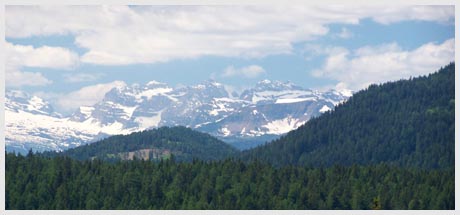
while Gampenpass is a better vantage point on the
Ortler Group.
photo
page
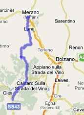
From East. The road to the pass starts on
the west end of Meran. But coming from the
downvalley area in Bozen, one can stay on the high
west side of the valley and climb through the
towns of Nals, Prissian and their castles and join
the Gampenpass road in Tisens. Once on the main
route, the road climbs in forest, opening
far views onto the dolomite area. The top comes as
a surprise, and offers no views, nor is it an
attractive area. On weekends the sides of the road
serve as impromptu parking lot for the nearby
Gasthof.
From West. (described descending) The
really nice mountain views of the Ortler Group are
further down the pass. They start a little bit
above St. Felix and stretch down to at least as
far as Fondo. As you approach Fondo, deep
limestone canyons make up the scenery. In Fondo
many cyclists turn back uphill to climb Mendelpass. But
in order to get the full elevation drop you have
to descend further into the val di Non or val de
Sol.
Gampenpass , Mendelpass: Andrian > Tisens > Gampenpass > Cles > Fondo > Rufre > Mendelpass > Frangart > sp: 49 miles with 6100ft of climbing in 4:5 (VDO MC1.0 m4:9.6.2). The last day on this Extended Tour with different start and end points is on page: Penser Joch
|
||||||||||||||||||||||||||||||||||||||||||||||||||
 Approaches
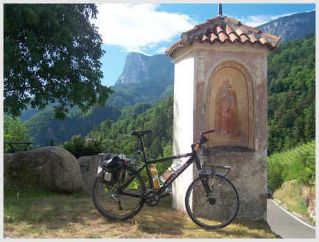
|
|
advertisement |
|
|
advertisement |