| |
| |
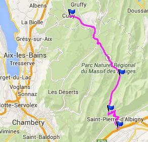
Col Du Frene
You can see the switchbacks of
this pass from the valley of the Isere, near its
junction with the Maurienne Valley. But the eye is
drawn immediately to the tooth like peak next to
the pass, the Dent d'Arclusaz (2041m). On the
other side of the pass this route shows off more
peaks of this nature in the Bauge Massif.
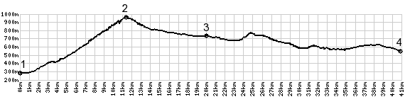
Back to work. The road starts climbing
immediately. The switchbacks seem to get longer,
and even if the road is trying to get away from
the big tooth above, it only does so momentarily.
The next switchback brings the Dent d'Arclusaz
back into focus, from just a little bit higher.
The top is a small meadow bounded by forest and
the start of a trail up the tooth itself.
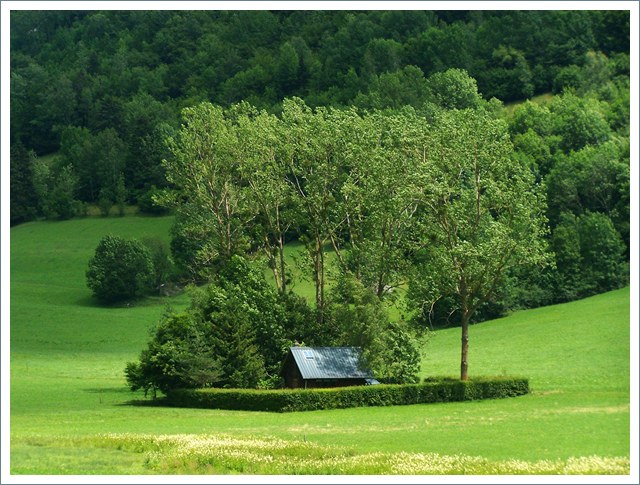
Continuing downvalley from here, the alpine
character of the landscape moves more and more to
the background, and the road rolls into generic
forested hills, reaching a low point at the bridge
in Lescheraines. A Dayride with this point as
intermediate summit is on page: Col de Planpalais 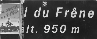
 |
 From
North. But actually this side is even more
scenic. The road descends mildly and then aims
like a bowling alley right for the next peak, Mont
Trelod (2181m). There are fewer trees to hide the
mountains on this side. And now the shape of the
trees become an integral part of the landscape
itself, because whatever trees there are left -
now there form matters, when they stand there by
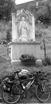
themselves. A fountain to cool down and still a
thirst, next to a church complementing its
environment are passed in Les Lindagnes. Several
tempting looking roads leave from here towards
high mountain valleys. But they all are out and
back rides, at least as far as pavement is
concerned.
From
North. But actually this side is even more
scenic. The road descends mildly and then aims
like a bowling alley right for the next peak, Mont
Trelod (2181m). There are fewer trees to hide the
mountains on this side. And now the shape of the
trees become an integral part of the landscape
itself, because whatever trees there are left -
now there form matters, when they stand there by
themselves. A fountain to cool down and still a
thirst, next to a church complementing its
environment are passed in Les Lindagnes. Several
tempting looking roads leave from here towards
high mountain valleys. But they all are out and
back rides, at least as far as pavement is
concerned.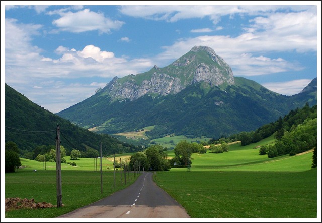
|
|
advertisement |
|
|
advertisement |