| |
| |
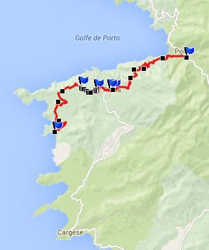
Belvedere de Saliccio
The Michelin Corsica map rates
many places in Corsica with stars, as to their
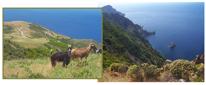
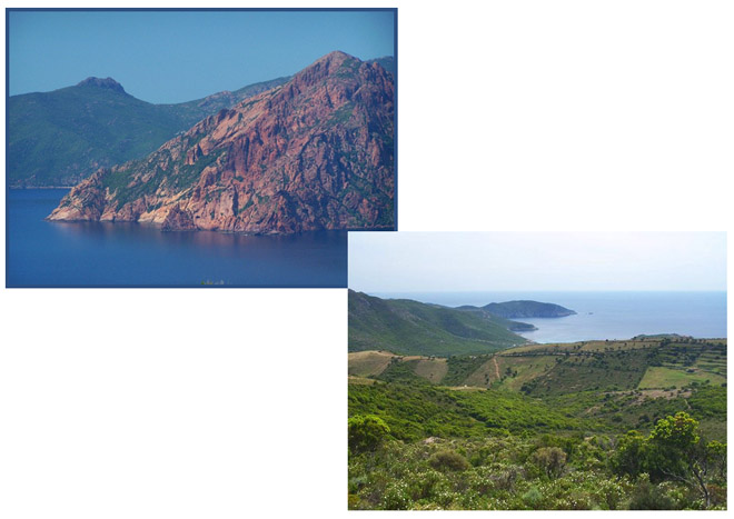
attractiveness. The coastal area "Les Calanches"
with its wild limestone cliffs and the old village
Piana is one of very few places that gets 3 stars.
Exploring the area around this Belvedere (lookout)
is a short out and back, half day excursion in
this area.
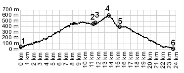
The Belvedere de Saliccio is a mountain with antennas just south of Les Salanche, with a great view over the town Piana and the snow covered Mte Rotondo (2622m) behind it. One approach is paved to the top. The other side is a short, rough dirt track, that can also be quickly walked with the bike (but probably not road racing shoes). It connects with the paved road over Col d'Osini with the beach below. Col d'Osini is just a shoulder point, with the road leading to higher points before (or after) the pass, no matter which way you slice it. I don't see any route that would make Col d'Osini the highest point. On the island side it meets D81 over Col de Lava, and keeps climbing higher in either directions.
From West. (described
downwards). A steep, rocky double track trail
descends into a northerly direction. Already after
a 100m or so the paved road below comes into
sight, and the dirt track meeting the paved road,
becomes visible. This portion is easily covered by
a quick (but steep and rocky) walk. Continuing
down towards the shining sea, the paved road
passes a trailhead for a popular hike onto Turghio
Rock, and then splits in order to descend to two
different beaches. A day on a tour, including a half day ride
without touring luggage with this point as
highest summit: PARTIALLY PAVED / UNPAVED: (<Col de
Palmarella./Lava | Col de Vergio>)
|
|
|
advertisement |
|
|
advertisement |