< Left Panel
Colorado Summits and Passes
Areas
Tables
Maps
All Favorites
Main Panel:
Main Page
Map+Profile
Picture Page
Rides
Colorado Map
--STARTCONTENT--
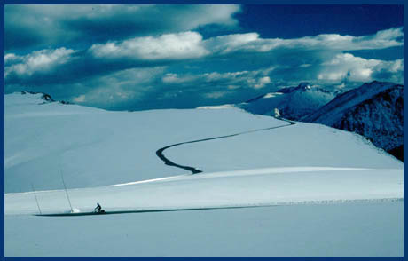
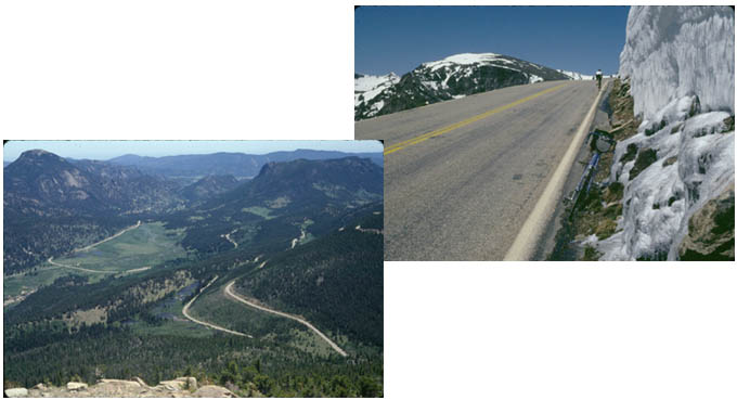
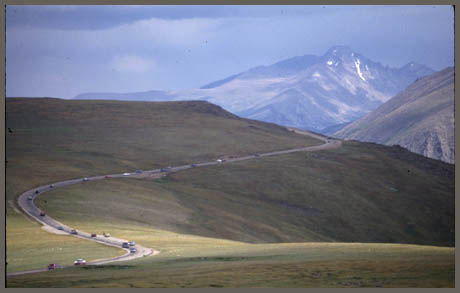
Trail Ridge Road Passes
(Summary)
point of highest elevation:
12180 ft
Eastern Approach:
climb
distance
drop
from Loveland (5340 ft)
6840 ft
52miles
~500ft
from Estes Park (7549ft)
4631 ft
24+1/2 miles
~300ft
Western Approach:
from Grand Lake (9380ft)
2800 ft
24miles