|


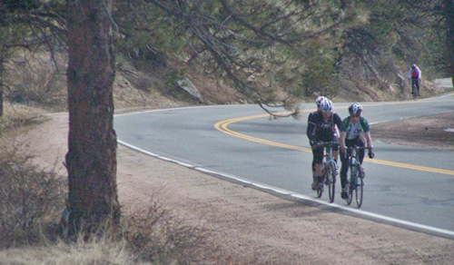
Golden Gate Pass is the old
historic name for the eastern most
summit on the Golden Gate Canyon Road.
On the west side the road turned north
and connected with Clear Creek Canyon to
the Central City area.
Golden
Gate Pass
Highest Point: 7750ft
|
| Northern Approach: |
|
|
drop |
| from jct Clear
Creek bike path - Kipling Ave
(5360ft) |
2390ft |
14+1/2miles |
~100ft
|
| from start of
Golden Gate Canyon Rd, north of
Golden (5930ft) |
1820ft |
7+1/2miles |
|
| Southern Approach: |
|
|
|
| from jct Clear
Creek - Guy Gulch (6230ft) |
1520ft |
5miles |
|
| from low point on
paved Golden Gate Canyon Rd
(7430ft) |
320ft |
1+1/2miles |
|
|