| |
| |
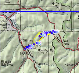
FR745 Lime Creek Road s(u)
This route can be an alternate
approach to Shrine
Creek Pass from the west. One MTB guide book
from a past decade by Linda Gong and Gregg Bromka
even suggests it as the principal approach, and
that even though it takes much longer and requires
some walking. But since more than a 300ft drop is
involved between the two summits, the high point
on Lime Creek Road can also be viewed as a
unrecognized summit in its own right. It has some
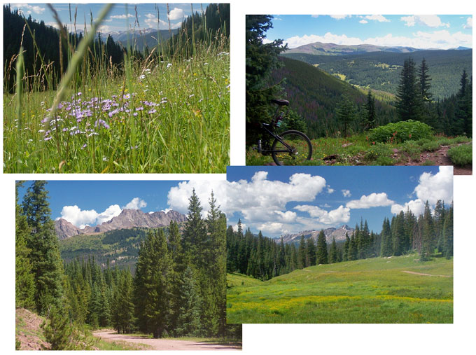
nice views of the northern Sawatch Range.
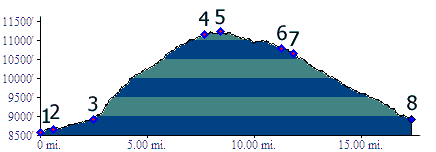
From West 1. The profile starts at
the lowest point around, where the lower access
road to Redcliff goes under the Co24 bridge. In
sleepy, picturesque Redcliff, there are only two
road signs. Both say "Shrine
Pass" and they are at the same location, but
face in opposite directions. Once on this
aerobically friendly dirt road, it may take some
extra convincing to take the turn off th (dirt)
road onto the often wet, rocky track up or in Lime
Creek. The first part requires much walking. Then
the road periodically breaks out into subalpine
meadows. After ample time has passed and this walk
/ ride alternation has repeated several times, the
final two meadows offer a view. Mount Holy Cross
and the rest of the northern Sawatch Range are
beginning to emerge above the trees. One last
final steep walk and the road merges onto a good
dirt road. Coming from the other direction, this
turnoff down a rocky track is extremely easy to
miss. But the good dirt road soon dead ends in one
direction, so there is no danger of getting lost,
just riding a few extra miles. Anyway, turning
left onto the good dirt road, the miles go by much
faster now. The road summits almost
imperceptively, amongst partially obscured views
of the Sawach Range. You can find them if you look
for them between the trees.
From West 2. (described downwards): A
shallow descent traverses along the forested
ridge, with long open stretches opening views onto
Jacques Peak and also the area around Ptarmingan Pass.
The first major intersection is not the junction
with the Shrine Pass
Road, but instead a dead end spur that heads up
towards the Comando Run trail area. At the second
major intersection, the profile turns down the Shrine Pass road.
This way the profile isolates this point as a
separate summit, but of course it is just as
viable to continue over Shrine
Pass. The descent passes quickly, pleasantly
and without major views. Dayrides with this point as highest summit |
 Approaches
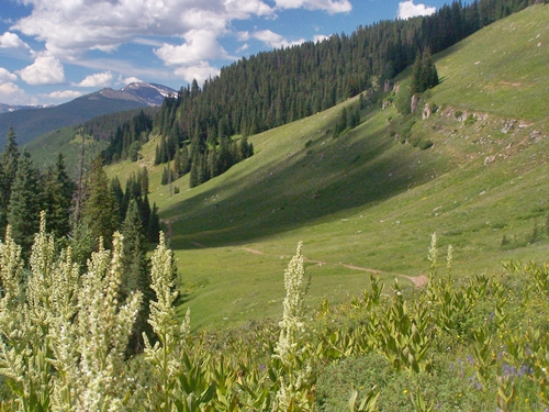
|
|
advertisement |
|
|
advertisement |