| |
| |
FR185: Aspen Ridge s(u)
The mountain range on the east
side of the lower Arkansas Valley, south of Trout Creek Pass
is not honored with a name on my maps - or so it
seems at first. In most areas a range of this size
would definitely have a name, but maybe it just
pales into insignificance compared with the string
of 14ers in the Sawatch Range on the other side of
the valley. But over on this side, this ridge is
the perfect vantage point onto those 14ers.
By inference this is the southern extension of the Mosquito Range, a lot lower here than where Mosquito Pass crosses it. Now it is gentle enough to contain a maze of dirt roads, including something resembling a run along the ridge line over Aspen Ridge. This route is included in the publication about mountain biking opportunities in the Arkansas Valley, that is available for free at local businesses. It is included in the map, but it is not described.
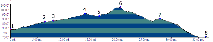
Northern Approach: The profile starts
where US285 turns east, to climb out of the
Arkansas Valley over Trout Creek Pass.
The road here is not rumble stripped (as of
June/2018, unlike the other side of the pass).
Most of the time there is a very narrow shoulder
that is really not sufficient for riding. At least
one stretch has no shoulder. After the climb levels out a bit FR187 can be
used as an alternate for US285 for a short
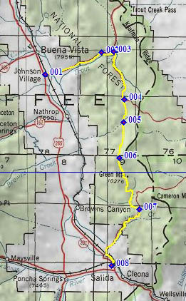
distance. The turnoff onto FR185 at point 2 is
labeled with Bassam Park (amongst other
destinations) and a route number. During my last
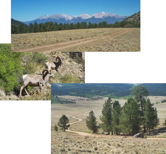
ride on the route I met and photographed several
pronghorn sheep here. FR185 climbs gently. Turning
around the billowy rock outrcrops of the Dakota
formation make a sharp foreground to the Buffalo
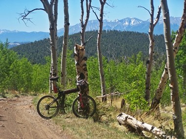
Peaks in the distance. Later, as FR185 turns east, the profiled route
continues straight on what is labeled as FR185B on
the roadsign. The road goes over a reguar roller
coaster just west of the ridge line. Periodically
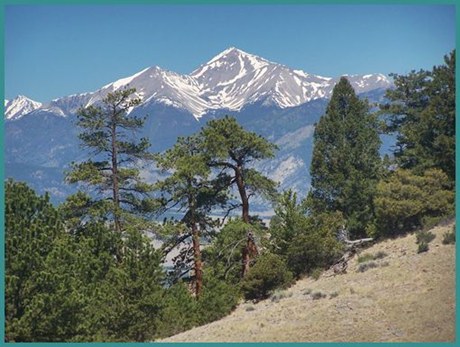
views open up onto the Sawatch Range, including
Mount Princeton and its unmistakable chalk cliffs,
foregrounded by a ridge of Aspen. Small detours to
the west give even better views. The highest point
has a campsite and one of these views. Southern Approach: (described downwards)
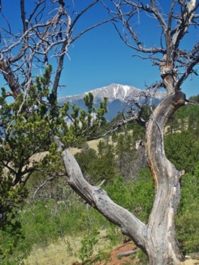
A rougher, rockier road leads down into the "Aspen
Ridge land management area". The Wasatch Range
continues to be the main star in this movie, now
featuring its southern peaks to Mount Ouray. A
number of turnoffs lead to mining claims. Always
taking the downhill option will lead to the
shortest route to Salida. Going the other way is a
little trickier. Soon the route becomes a wide
dirt road, changing designations a number of
times, depending on what map you look at. But
FR175 will eventually end in a long downhill to
Salida, with Mount Ouray dominating the view.
 |
 Approaches
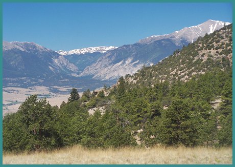
|
|
advertisement |
|
|
advertisement |