| |
| |
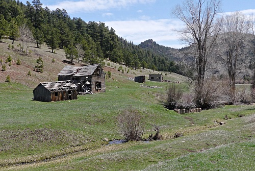
Bigelow Divide
This is the second of three pleasant
forested divides on Co78, along the east side of
the Wet Mountains
Staying on pavement on the short climb to Bigelow
Divide, Co67 makes its only wide turn, that could
be called a switchback on its route between Mc
Kenzie Jct and Colorado City.
From South. (described
downwards) A short roll leads to the next low
point, where the climb to the Greenhill Divide
starts. In this area is the turnoff to a road that
reaches the crest of the Wet Mountains, all the
way to Greenhorn Mountain.
Dayrides with this point as intermediate
summit are on pages:
|
 Approaches
|
|
advertisement |
|
|
advertisement |