| |
| |
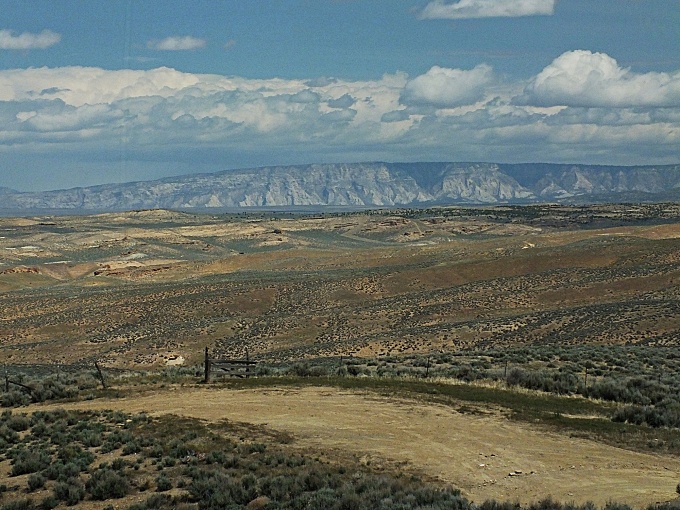
CR4180 Dragon Rd(sh) This little hill is part of,
what must be at one of the most remote
pass approach roads in the lower 48
states. The mining structures of Bonanza
are already many miles from a major road,
US40 in this case. From near Bonanza
a gravel road leads over this small
summit, passing by gas wells, compressor
stations, and a now erased, old trail
town. There are more rusty memories of
towns like these in the surrounding hills.
But this road leads to a point, that could
finally be considered as a starting point
for Baxter Pass
on this side. - No towns or houses along
the way, but amazingly good, washboard
free surface for cycling, because of the
commercial traffic, required to service
these gas wells. It's worth mentioning
that I didn't meet more than a handful of
vehicles of this type during my rides in
this area.
Before the abandoned
superhighway ends at an oh-so-tightly
locked, fenced gate to an oil shale
reservation, a sign announces a left turn
for Baxter Pass. A small, curvy decent leads
to a crossing over a small dry side canyon,
and then the road takes to the rolling
plateau hills. There are several potential
high points over the top of the plateau. The
most interesting views are from the first
one. The second bump seems to be the
highest. There are many signed side roads,
that merit further exploration.
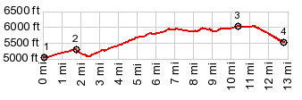
From
South. (described downwards): A just
barely 500ft decent leads into a wide canyon
of the Bookcliff Plateau. The jct with Park
Canyon is near the low point and suggests
itself for further loop rides (the next
time, when I hope it will be a little
cooler). The site of the old trail town
"Dragon" is a little further up the road.
It's near the lowest point of the Baxter
Pass profile on this side.
 Dayride with this point as highest summit: PARTIALLY PAVED / UNPAVED ( < Harper's Corner Rd - CR14 Miner's Creek Rd(sh) | White River Rim-1 s(u) > ) CR4180 Dragon Rd(sh) x2: : ~1/2mile from jct CR4170 Ut45 Bonanza Highway <> Bonanza Highway north <> CR4170 Dragon Rd south <> CR4170 Dragon Rd(sh) <> Dragon <> Colo State line <> jct Whiskey Creek - Dragon Rd << turnaround point gate on Whiskey Creek Rd, >> back to starting point <> separate out and back to near the top of CR4170 Southam Canyon Rd: 50.9miles with 3720ft of climbing in 5:11hrs (garmin etrex0 m3:20.5.14) 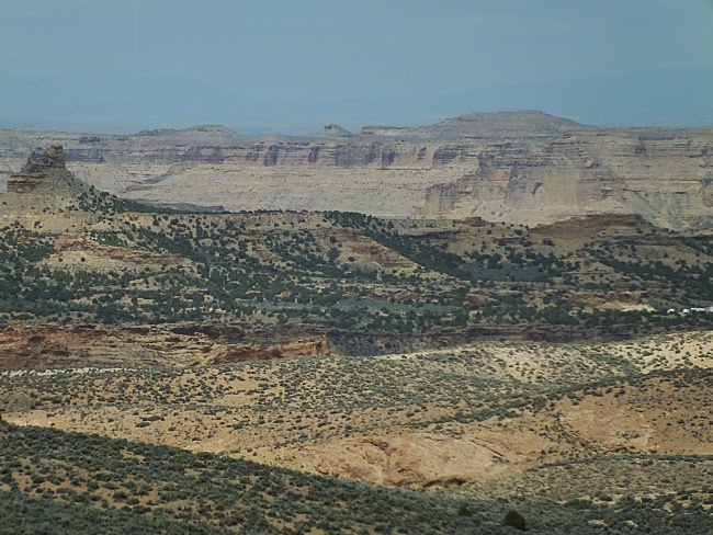 |
|
|
advertisement |
|
|
advertisement |