| |
| |
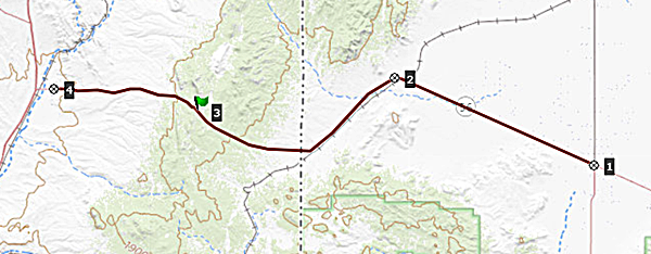
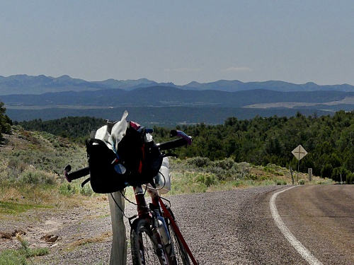
Panaca Summit This gentle dessert summit
goes over the low southern outliers of the
Wilson Creek Range - very little traffic
on a long gently climbing road
between Utah and Nevada.
 Approaches 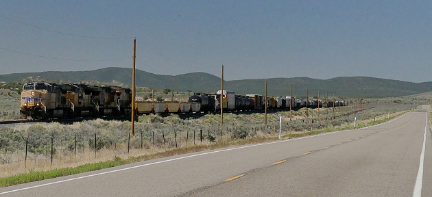
From
West. (also described upwards). From
the jct with US93, there is actually a bike
path next to the road leading out of Panaca.
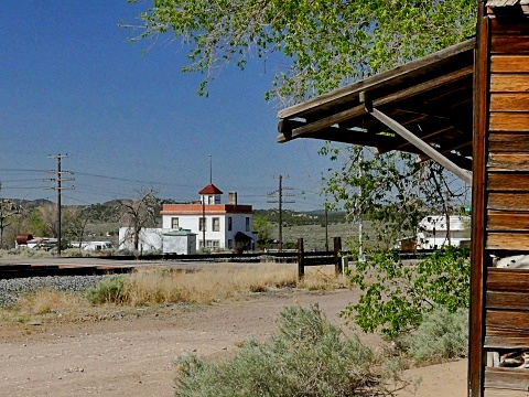
Panaca has a single, fairly busy, well
stocked grocery store. The multiple wide lanes of
luxurious width in Panaca lead into a
straight and steadily climbing 2 lane road
without shoulder. But this is not a problem
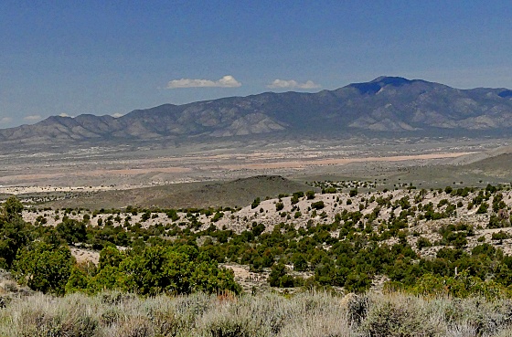
- very little traffic. The views behind
stretch many miles. Ahead the ridge is
gentle with a pronounced roof of juniper
trees at the top.
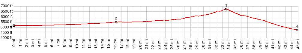
Dayride with this point
as highest summit COMPLETELY PAVED ( < Confidence Mine s(u) | Manhattan Gap s(u),aka Silver State Trail section: Bennett Pass - Stampede Gap > ) Panaca Summit x2 : Modena <> Panaca Summit x2 << turnaround point Panaca with jct US93 with short sightseeing detour in Panaca: 62.3miles with 3450ft of climbing in 4:37hrs (garmin etrex30 r4:22.5.18) Notes: first too hot ride this year |
|
|
advertisement |
|
|
advertisement |