| |
| |
FR544 Indian Springs Rd(sh)
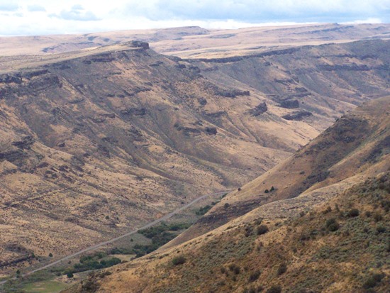
This is the perfect, unpaved loop
companion road to the paved Rock Springs Rd in the
Twin Falls area. The former runs through a scenic
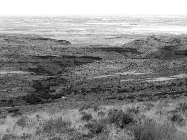
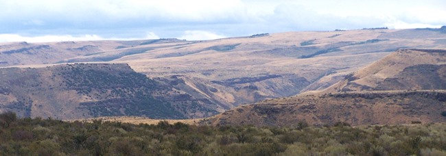
canyon and this one follows much of its rim. Approaches Once up on FR544, it becomes apparent that it
also has a surface perfect for fast progress
through these picturesque grassy dales. The summit
itself is nothing special. 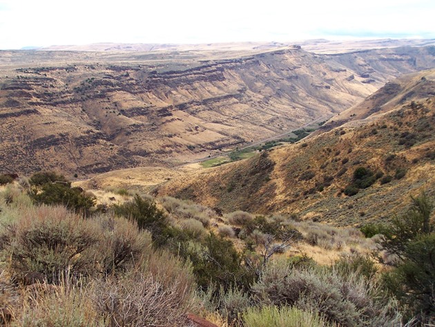
From North. (described
downwards) But on this side several short spurs
lead to the rim of Rock Creek Canyon. While
many American canyons must be shared with
countless other visitors, at least when using
roads, this is one, that can be had to oneself, at
least an most points in time. At this point in the
ride, I was glad to see the first sign of humans,
in the form of an empty parked car. After exiting National Forest land, the profile
takes the right fork at an unsigned junction. This
option goes directly back down to the start of the
profile at the entrance to Rock Creek Canyon
A Dayride with this point as intermediate summit is on page: FR500 Oakley Rogerson Rd(sh) Notes: this area is reminiscent of the Mud Creek area in Wyoming, as far as scenery is concerned. But here the roads are much better and faster. |
|
|
advertisement |
|
|
advertisement |