Many French pass names start with
a croix (cross) of some sort. This is not one of
the famous croix passes for cyclists. This is
where D1075 crosses a low spot from the valley
of the Ebron to a river called Le Buech. But the
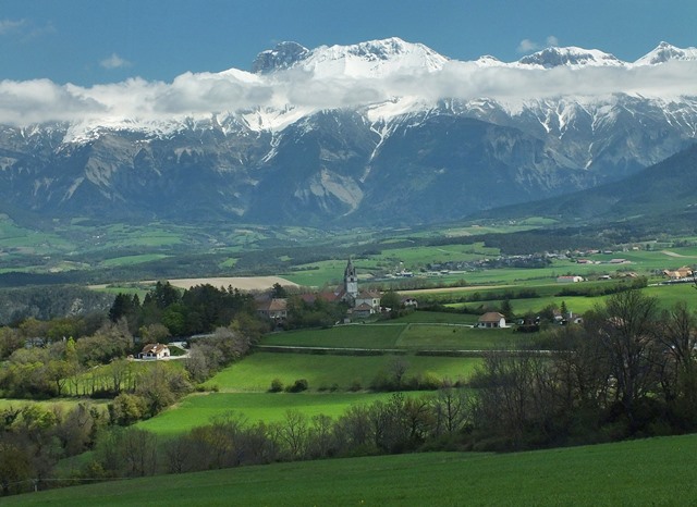
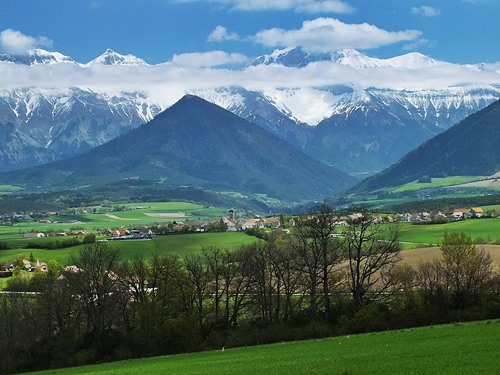
distant views of the main ranges in the alps in
the valley approach can be very hypnotizing, I
barely even took note of the traffic.
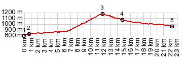
The road just seems to roll along. But according
to the profile, it does start to go uphill in a
netto sort of way, starting aproximately at the
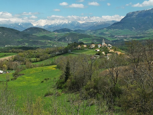
turnoff to Monasterie de Percy. This suits me
fine, because just at that point I took some of my
favorite pictures for that ride, and this way I
can include them. As the road exits the valley and
starts its minute really noticeable climb to the
summit, but the views disappear. The most exciting
thing at the summit is the sign with the name of
the pass on it.
From South. Gradual
descend in a shallow valley. The first option to
get away from the traffic and improve the quality
of the bikeride again, is the turnoff to Col de Grimone
|