|
|||||||||||||||||
|
|
|||||||||||||||||
| |
|
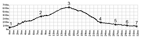
Col De Chateauneuf
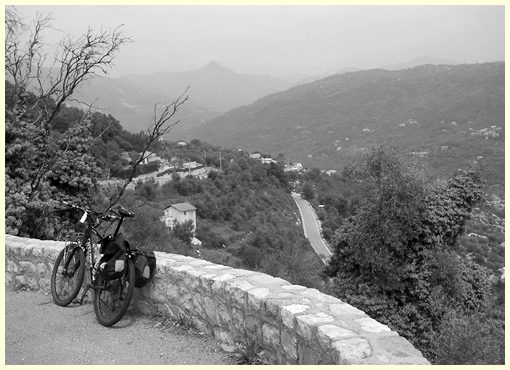
On my dayride over summits around Nice, this pass had the most
cyclists on it, and also the least automobile traffic. From the
top a trail climbs to ruins of an old castle on Mount Macaron
(806m).
From South. (described downwards).
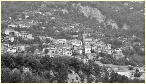
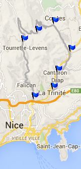
Once you loose sight of Aspremont to the west, the next hilltown
on the ridge to the east comes into view. Actually there are two
of them, Contes fairly close to the valley floor, and Berre les
Alps, a little higher than this pass. At the first switchback an
unpaved track allows you to contour along the hillside to
Bendejun, instead of descending further. A Dayride with this point as intermediate summit is on page: Chemin de la Greo: Berre les Alps
|
|
|
advertisement |
|
|
advertisement |