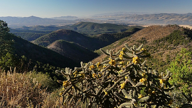
US191 Telephone Mesa s(u)
Continuing south from the
highest point on US191, there are three
summits this road negotiates. That's what it
takes for the 5500ft descend from the Mogollan
Rim into the dessert to the south. This is the
middle summit. Even though is a supremely
scenic area, few people in cars stop here,
since they are not provided with an official
reason to stop, like a parking lot or an out
house for example. Even on a bicycle the
location is easy to miss, the rider maybe
jaded by continuous far views over the last
countless miles, and tired after a long hard
day of riding.
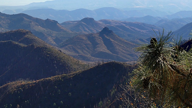
Approaches
From North. After
US191 descends the first two thousand foot step
from the Mogollan Rim in meanders along a gentle
forested ridge, It takes a while before it gets
around to climb this next small thousand foot
summit. Turning around before approaching the
top, the long ,lower part of the traverse to
this summit can be seen cutting along the hills.
Soon the road rounds the next ridge and reaches
its high point in a road cut.
From South.
(described downwards) Not far below the
summit is a turnoff with a route to Rose Peak
Lookout. Even though it is about ~600ft below
the highest point on US191, I think the view
from this Lookout would be quite a bit more
interesting. - A good reason to come back. The
descend on this side is even longer and
meandering than from the rim itself. It ends in
a rare, long straight grassland section, before
US191 climbs to it its southernmost summit: HL Saddle.
|
|
|
cLiCk on image , arrows
, or thumbnails to advance slideshow
|