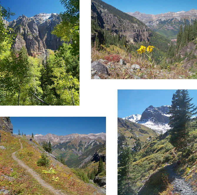
Wasatch
Connector Trail s(u)
Highest Point: 12630ft
|
| Western Approach: |
|
|
| from jct Co145 - Boomerang
Rd, also called San Miguel (8750ft) |
3880ft |
5+1/2miles |
| from St Sophia ski station
(10535ft) |
2095ft |
3miles |
| Eastern Approach: |
|
|
| from downtown Telluride via
Bear Creek Trail (8780ft) |
3850ft |
5miles |