< Left Panel
Colorado Summits and Passes
Areas
Tables
Maps
All Favorites
Main Panel:
Main Page
Map+Profile
Colorado Map
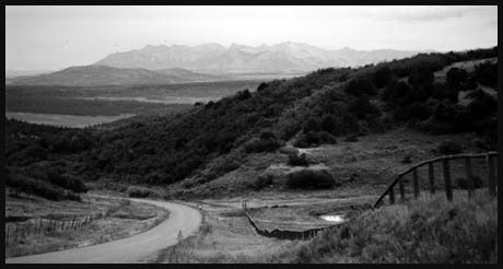
Sandy's Fort Pass
Highest Point:
8323ft
Western Approach:
from Basin school (jct U29rd - rdU31) (6750ft)
1573ft
9+1/2miles
Eastern Approach:
from Miramonte Reservoir (7720ft)
603ft
3+1/2miles