Pleasant Park Road shoulder
summit
Highest Point: 8540ft
|
| Southern Approach: |
|
|
drop |
| from jct: Deer Creek
Canyon Rd - Wadsworth Blvd, west of
Chatfield Res. via Deer Creek Canyon
and High Grade Road (5530ft) |
ft |
16+1/2miles |
~100ft
|
| from jct Deer Creek
Canyon Rd - South Deer Creek Canyo
Rd (6500ft) |
ft |
10+1/2miles |
~100ft
|
| Northern Approach: |
|
|
|
| from Simms Street
Exit on US285, via US285 (5660ft) |
ft |
17+1/2miles |
~200ft
|
| from jct: Parmalee
Gulch - US285 (6730ft) |
ft |
10+1/2miles |
~200ft
|
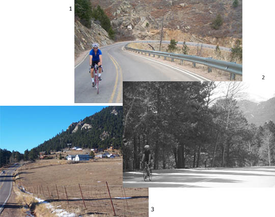
pic
locations: 1: High Grade Road,
2: just north(west) of summit, 3
approaching turnoff to City View
Drive from south(east).
Profiled northern
approach is on four lane US285,
since this is the most direct.
This road has a wide shoulder
for the most part, and cycling
on it is legal. But substituting
a route over North Turkey
Creek Canyon / Deer Creek Canyon
(or other) is a more pleasant
ride.
|

|