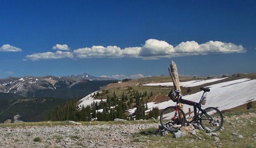
view east from above the Fairview Mine
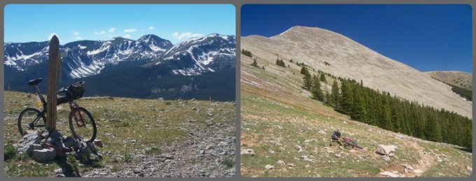
left: the main spine of the Sawatch Range from
the FR766 summit
right: past Shaw Ridge the trail emerges above
treeline and contours along Fairview Mountain
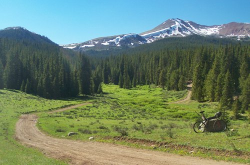
Last view back up FR766
towards the Fairview Mine summit,
before descending to the Cumberland Pass
Rd
FR766 Fairview Mine s(u)
Highest Point: 12010ft
|
| Northern Approach: |
|
|
drop |
| from jct FR742 - dirt rd
to Union Park (9380ft) |
2630ft |
15+1/2miles |
~1000ft
|
| from Union Park cow camp
(9580ft) |
2430ft |
10+1/2miles |
~500ft
|
| Western Approach: |
|
|
|
| from Parlin (7960ft) |
4050ft |
26miles |
|
| from jct FR766 -
Cumberland Pass Rd (10050ft) |
1960ft |
5+1/2miles |
|

|