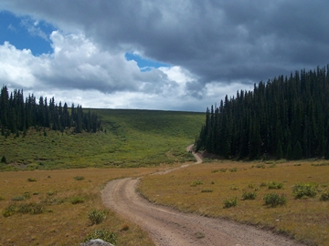
Colorado
Trail m363.1 s(u)
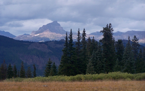
Highest Point: 12040ft
|
| Northern Approach 1: |
|
|
drop |
| from bridge across Henson
Creek, Lake City (8670ft) |
3370ft |
11+1/2miles |
~300ft
|
| from start of BLM3323
(9950ft) |
2090ft |
6+1/2miles |
~200ft
|
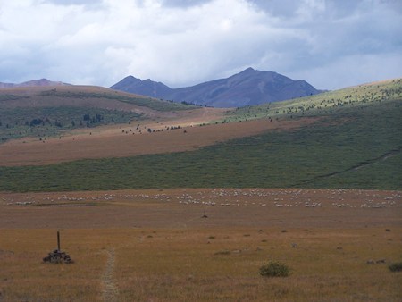
| Northern Approach 2: |
|
|
|
| from jct BLM3323 -
Slumgullion Pass Rd, via Slumgullion and
Spring Creek Passes (9950ft) |
2090ft |
15+1/2miles |
~1200ft
|