< Left Panel
Utah Summits and Passes
Areas
Tables
Maps
All Favorites
Main Panel:
Main Page
Map+Profile
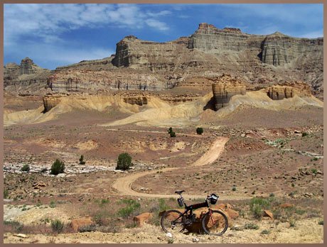
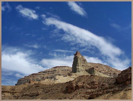
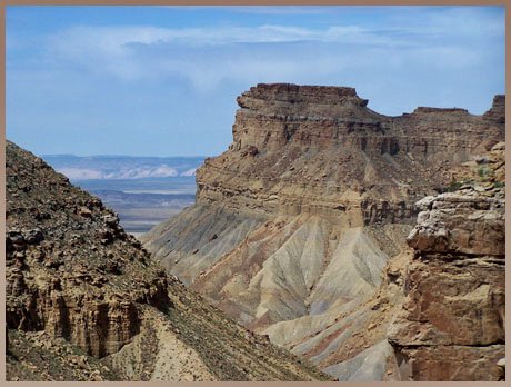
Picture Page
Utah Map
Tusher Canyon summit(u)
Highest Point:
5300ft
Eastern Approach:
drop
from unmarked dirt road turnoff on US6 (4380ft)
920ft
19+1/2miles
~600ft
Western Approach:
from jct: Tusher Road - road along Green River (4100ft)
1200ft
13+1/2miles
~100ft