< Left Panel
Utah Summits and Passes
Areas
Tables
Maps
All Favorites
Main Panel:
Main Page
Map+Profile
Picture Page
Utah Map
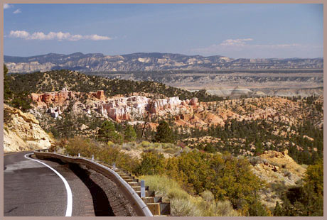
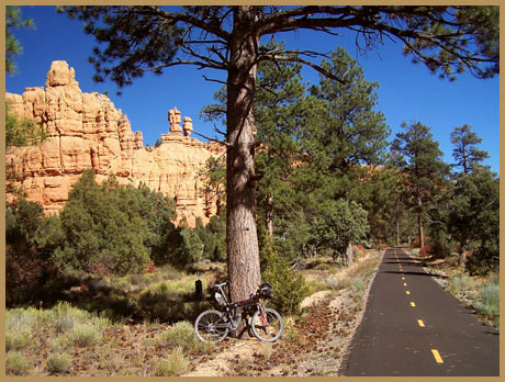
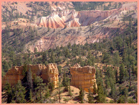
Red Canyon summit
(Summary)
Highest Point/Sign elevation:
7825/7774ft
Western Approach:
from jct US89 - Ut12 (6720ft)
1105ft
7miles
Western Approach:
from Cannonville (5870ft)
1955ft
19miles
from Tropic (6300ft)
1525ft
14+1/2miles