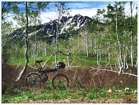
Pole Line
Pass
Highest Point:
8930ft |
| Eastern
Approach: |
|
|
drop |
| from
Midway (5600ft) |
3330ft |
13+1/2miles |
~200ft |
| from
Wasatch Park
visitor center
(5770ft) |
3160ft |
11+1/2miles |
~200ft |
| Western
Approach: |
|
|
|
| from
junction I15 -
Ut92, Salt Lake
Valley (4640ft) |
4290ft |
22+1/2miles |
|
| from
junction Ut146 -
Ut92 (5070ft),
beginning of
American Fork
Canyon |
3860ft |
15+1/2miles |
|
|