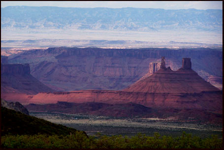
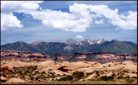
La
Sal Loop Road summit(u)
Highest Point: 8320ft
|
Southern Approach (pvd):
|
elev. diff |
over distance |
drop
|
from southern end of Ken's
Lake, south of Moab (4860ft).
|
3460ft
|
19miles
|
~500ft
|
| Northern Approach (pvd): |
|
|
|
| from junction Ut128 - road to
Castleton (4060ft) |
4269ft
|
17+1/2miles
|
~100ft
|
| from junction La Sal Loop
Road - road from Castleton (6490ft) |
1830ft
|
6miles
|
|
Western Approach
(partially unp):
|
|
|
|
from beginning of Sandflats
Road, south of Moab (4130ft)
|
4190ft
|
22miles
|
~300ft
|
from junction
Sandflats Road - La Sal Loop Road (7880)
|
440ft
|
2+1/2
|
|

