< Left Panel
Utah Summits and Passes
Areas
Tables
Maps
All Favorites
Main Panel:
Main Page
Map+Profile
Picture Page
Utah Map
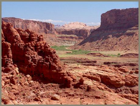
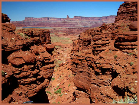
Hurrah Pass
(Summary)
Highest Point:
4780ft
Northern Approach:
drop
from King's bottom on Colorado River (3980ft)
800ft
9+1/2miles
~300ft
Southern Approach:
from low point near Chicken Corner (3870ft)
910ft
5+1/2miles