Hell's
Backbone Road summit(u) (Summary)
Highest Point: 9160ft
|
Eastern Approach:
|
|
|
drop
|
from Escalante River
Crossing, between town of Escalante and
Boulder (5210ft)
|
3950ft
|
25miles
|
~1100ft
|
from dirt road turnoff off
U-12 (6770ft)
|
2390ft
|
15+1/2miles
|
~1000ft
|
Western Approach:
|
|
|
|
from town of Escalante
(5800ft)
|
3360ft
|
24miles
|
~900ft
|
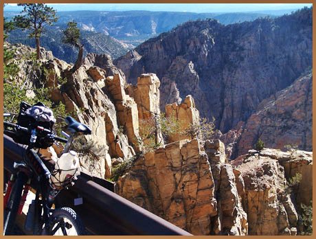
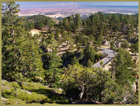
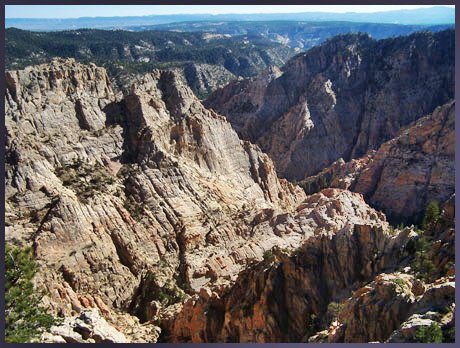
map
and elevation profile
picture
page
back to Bicycling
Utah's summits and passes |
|
|
|