|
|
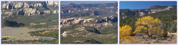
FR95 the Causeway s(u)
Highest Point: 8490ft
|
| Western Approach: |
|
|
drop |
| from Ut91 crossing of
Westwater Creek, southwest of Blanding
(5570ft) |
2920ft |
22+1/2miles |
~400ft
|
| from Blanding (6090ft) |
2400ft |
17+1/2miles |
~400ft
|
| Eastern Approach: |
|
|
|
| from jct Cottonwood Creek
Rd - FR92 Elk Mountain Rd (5540ft) |
2950ft |
32miles |
~900ft
|
|
|
|