| |
| |
FR47 Blacksmith Fork Canyon
Left Hand(sh)
aka FR47 Logan Canyon Right
Hand(sh)
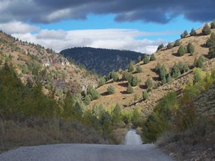
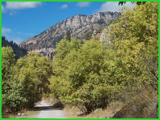
This dirt road crests in a narrow
valley behind Logan Peak. For me it made a great
combination with a Grand Tour of Cache Valley
towns.
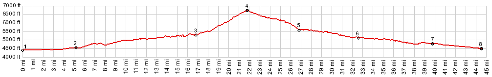
From North. The profile starts in a low
point in Cache Valley, crossing the Little Bear
River. Climbing the old Bonneville Lake benches in
Logan is already a good workout. But entering
Logan Canyon the road goes downhill, back to river
level again. This part of Logan Canyon has a nice
shoulder these days. It lasts all the way up to
the signed turnoff, onto what is here called
"Right Hand Canyon". The route turns right onto
Right Hand Canyon. By the end of the descent the
name will have magically mutated into "Left Hand
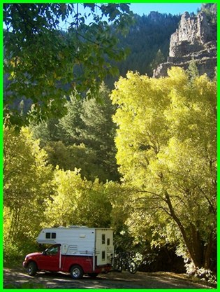
Canyon". The beginning of this side road is paved, and the
limestone cliffs above are nicely framed by the
roadcut in the morning light. Too bad this
pavement does not go all the way through. This
would make a great road ride. The road surface
soon becomes a fine well compacted gravel, that
nontheless is still a pretty good ride. The top is
not readily apparent while riding up. It does
finally come when the brushy vegetation gives way
to a high meadow. Besides a few limestone cliffs
above there are no far views here. Forest dirt
tracks cross into both directions. The one to the
right is especially tempting, labeled "Logan
Peak". I still have to try this one.
From South. (described
downwards). The surface on this side is not
graveled, but instead a hard matrix with some
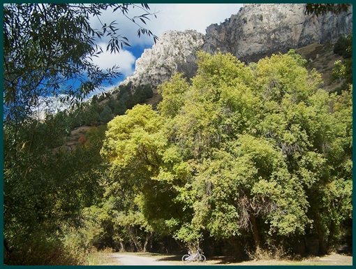
large rocks. Maybe the most appealing part of the
ride is further down on this side, when the road
crosses a grove of old trees that envelop the road
in a tunnel. Limestone cliffs and Right Hand
Blacksmith Fork Creek funnel the road into a
narrow slot. With a grandiose cliff background the
road ends onto paved Blacksmith Fork Canyon. The
profile continues down this canyon to a low point,
where the road crosses the river east of Hyrum
Dayrides with this point as highest summit: ( < Elba Pass
| ) 
back to cycling Utah's summits and passes |
 Approaches
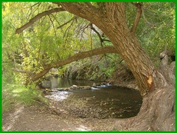
|
|
advertisement |
|
|
advertisement |