FR077
Summit: Paragonah - Ut20 (Summary)
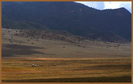
Highest Point: 8122ft
|
| Eastern Approach: |
|
|
drop |
| from Bear Valley Junction
(Ut20-US89) (6470ft) |
1652ft |
19miles |
~300ft |
| from start of FR077 (7020ft) |
1102ft |
11+1/2miles |
~200ft |
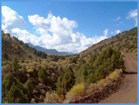
| Western Approach: |
|
|
|
| from outskirts of Paragonah
(5880ft) |
2242ft |
10+1/2miles |
|