< Left Panel
Utah Summits and Passes
Areas
Tables
Maps
All Favorites
Main Panel:
Main Page
Map+Profile
Utah Map
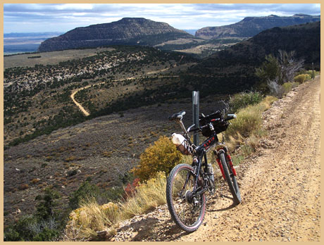
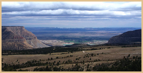
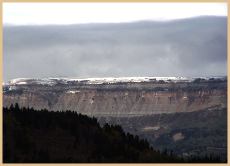
FR 022 summit: Ferron Canyon
(Summary)
Highest Point:
9650ft
Eastern Approach:
drop
from Ferron (5930ft)
3720ft
22miles
~100ft
Western Approach:
from low point on FR022 crossing Horse Creek (9280ft)
370ft
2+1/2miles