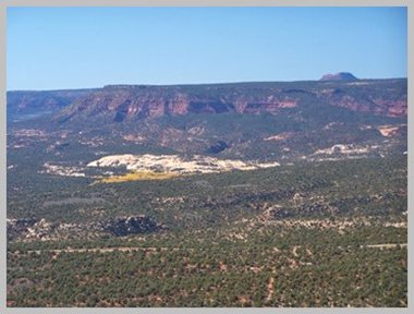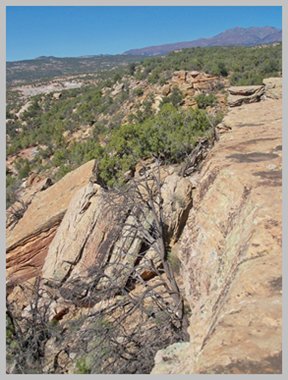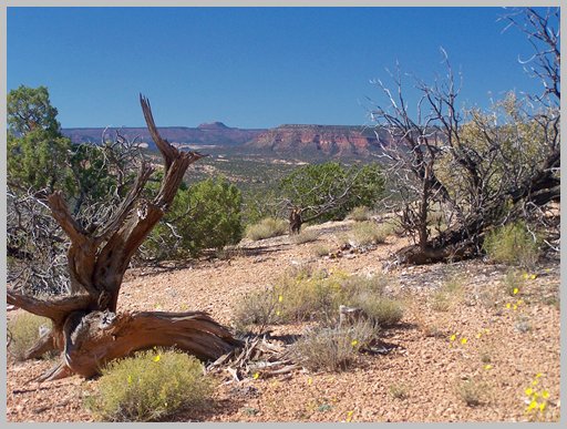
CR228 -227 Brushy Basin Rim
Road(sh)
Highest Point: 6410ft
|
| Eastern Approach: |
|
|
drop |
| from Jeke's Hole, low
point on Ut95, south of Blanding, also
the junction to CR227, via CR227
(5190ft) |
1220ft |
7+1/2miles |
|
| Western Approach: |
|
|
|
| from same pint via
CR228 Cottonwood Creek Rd (5190ft) |
1220ft |
9+1/2miles |
~200ft
|
back to
cycling Utah's summits and passes
|