| |
| |
Black Rock Pass I think this is the gentlest,
lowest pass of all the ones I have included so
far. But a mountain pass is sometimes something
different than an exhausting workout, even if
the "mountain" in the designation "mountain
pass" can be debatable here. This really is an
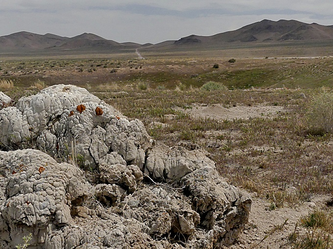
extraordinary environment, with the Sevier
dessert on one side, and the north end of a lake
that is dry, salty and muddy all at the same
time, to a degree of sometimes being life -
threatening. How many other places can you say
that about ?
Black Rock Pass Rd itself, is a wide
well maintained heavy duty gravel road. But during
my visit the surface was really good for unpaved
bicycling. The top can be seen ahead during the
entire approach. Up close, it is a wide grassy
gap, just what it looks like from 20 miles away.
The highest point is a short distance east of
where the map marks it, and ~20ft higher.
From East. (described
downwards) To get the minimum 500ft elevation
gain, so that I can include this point, I had to
go through some extraordinary lengths, and include
a long part of Ut257 through the Escalante
dessert, heading north until it meets a barely
noticeable low point at another less known Salt
Lake. 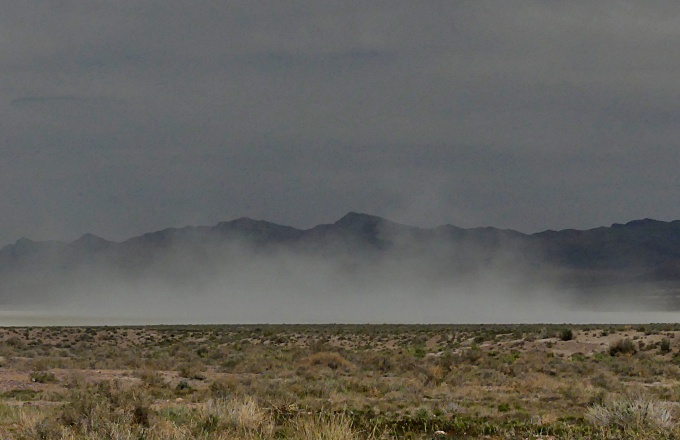 |
|
|
advertisement |
|
|
advertisement |