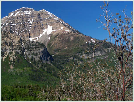
Alpine
Loop Road Summit (Summary)
Highest Point: 8030ft
|
Southern
Approach:
|
|
|
from Provo (4600ft)
|
3430ft
|
20miles
|
from
junction Provo Canyon, Alpine Loop Road
(5220ft)
|
2810ft
|
9+1/2miles
|
Western Approach:
|
|
|
from junction Ut92 - I15
(4640ft)
|
3390ft
|
18+1/2miles
|
| from
junction Ut145 - Ut92, mouth of American
Fork Canyon (5070ft) |
2960ft |
11miles |
|
------
View ut_Alpine_Loop_Road_summit_u
in a larger map
------
|
