| |
| |
Col d'Ibardin
This is the highest pass on a ride
around La Rhune, the most obvious landmark
mountain in the St-Jean-de-Luz coastal area. This
is the highest of the several tiny passes, that
surround this triangular mountain, with the cog
railway to the top. It is located almost on the
French - Spanish border.
From South. (described
downwards) This side seems to have quite a bit
more traffic, since the prices are clearly cheaper
at the top on the Spanish side. Further down the
Atlantic ocean apears behind the endless parade of
real estate that surrounds St Jean de Luz. COMPLETELY PAVED ( < Alto de Jaizkibe | > ) Col d'Ibardin , Col de Lizuinaga , Col de St Ignace via Sare s(u) : St Jean de Luz > Ascain > Col de St Ignace via Sare s(u) > Sare with detour > Col de Lizuinaga > Bera / Vera with detour > Col d'Ibardin > Oliette > sight seeing detour in St Jean de Luz > back to starting point in St Jean de Luz: 41.5 with 3468ft of climbing in 4:13hrs (garmin etrex30: r5:19.6.23). 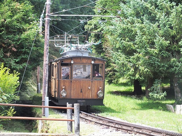 |

|
|
advertisement |
|
|
advertisement |