| |
| |
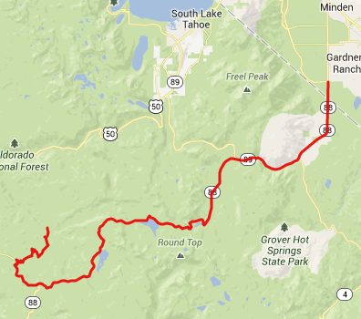
Carson Pass
(aka Kit Carson Pass) I was glad that this road was not
as busy as nearby Echo summit,
but this was not a peaceful backroad either, at
least not during the time of year when the fathers
of the nation pack their families into cars and
chauffeur them across the nation on summer
vacation. From the vantage point of this road, the
Sierra Nevada Range looks more like a plateau,
lined by a series of low peaks, that could just as
well be rock outcrops, carved out from a flat top.
The most amazing sights about this ride are the
many crystal blue lakes, that are strung up next
to the road like pearls on a necklace.
From East. Coming from the
dessert further east, the first trees east of
Woodfords are an amazing sight. Ca88 climbs
through a busy canyon with a narrow shoulder
without rumble strips to an open meadow area, from
where the main crest of the Sierra Range can be
seen for the first time. Continuing straight goes
to Carson Pass while taking a right goes over the
lower Luther
Pass into South Lake Tahoe. From West. But luckily
bicyclists don't have to worry about parking
spaces that much. In any case, more and bigger
parking lots are just a little ways down on this
side. The road looses elevation only in bits and
pieces, stringing together a number of lakes on
this high plateau. The road crosses one lake on a
dam. Many of the lakes further down have been
taken over by private resorts, that sell camping,
expensive meals and gas. Except for the first
overpriced restaurant, all of these resorts are
some distance off the main road and require
additional climbing to get back to the profiled
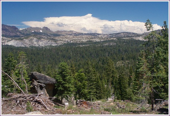
route. 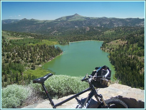 top of Carson Pass, looking east to Red Lake As the road climbs yet again, it
reaches a signed viewpoint named Carson Spur at
7990ft. In my opinion the view from here is more
interesting that from the pass summit. It
stretches north to a set of isolated rounded
peaks, but between here and there are innumerable
fins of rock, that are a result of surface stress,
much like on one side of a book when bending it. In order to reach a low point more
quickly and to illustrate my ride, the profile
turns off Ca88 onto a road signed as "Mormon
Emigrant Trail", and then turns right onto the
first paved forest road to reach the Silver Fork
American River. All of these roads are paved, and
these side roads on the lower approaches were
actually more pleasant cycling, than the summit
section itself. 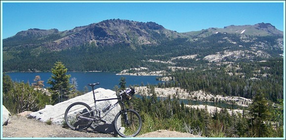
 picture taken from Emigrant
Trail Road, part of an alternative lower approach
to Carson Pass
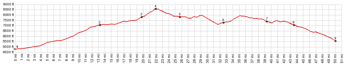
Dayride. COMPLETELY PAVED: |
 Approaches
|
|
advertisement |
|
|
advertisement |