| |
| |
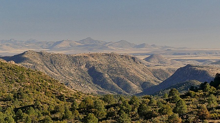
This is the first summit to be
negotiated by US60 on the way from Globe to
Salt River Canyon. It is a safe but noisy ride
on a pebble pavement shoulder and nice distant
views between speeding pick up trucks.
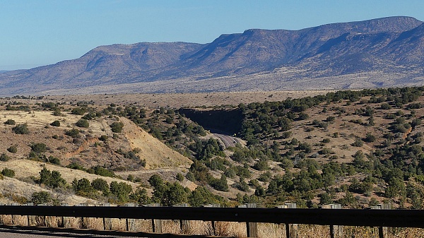
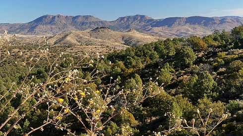
Approaches From South. (described downwards) There are some nice distant views onto the lower hills, that seem so warm and welcoming, when arriving from the north in the winter months. The shoulder continues over two major rollers that seem like they have been engineered to minimize bends of right, left, up or down. Finally comes a long extended downhill direction highlands, terminating at a low point where the road crosses Sevenmile Wash, at the inviting Jones Water campground.
Dayride with this point as
highest summit
COMPLETELY PAVED ( < US60 Jones Water - Salt River Canyon s(u) ! ) US60 Globe - Jones Water x2 , addtional out and back : Jones Water campground <> US60 north <> US70 east <> jct with Az77 <><> short separate out and back on Az70 east << turnararound near Apache Reservation boundary <> Az77 south << turaround point at picnic area on top of El Capitan Pass : 58.5miles with 4670ft of climbing in 4:59hrs (garmn etrex32x r4:24.12.23) Notes: on the first day before christmas my true love gave to me : a perfectly sunny and very warm day on pavement - two flat fixes on the way back (second one was successful) , and the nicest as point along the route: the top of El Capitan Pass. It is actually just slightly higher than the US60 summit, but only an out-and-back on this ride. The map also uses the name Pinal Pass for a nearby point of El Capitan. |
|
|
advertisement |
|
|
advertisement |