< Left Panel
Colorado Summits and Passes
Areas
Tables
Maps
All Favorites
Main Panel:
Main Page
Map+Profile
Colorado Map
de Beque Cutoff summit(u)
Highest Point:
5570ft
Northern Approach:
climb
distance
drop
from de Beque(4940ft)
630ft
8+1/2miles
~150ft
Southern Approach:
from jct Co65 - I70
790ft
11+1/2miles
from intersection Co65 (5170ft)
400ft
4miles
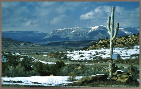
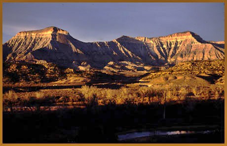
pictures:
there are no Saguaro cactuses this far north. The cactus like thing in the first picture turns out to be a mailbox holder. The second picture shows the Book Cliffs when approaching de Beque, from a short distance east of the road