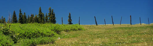
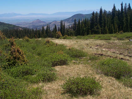
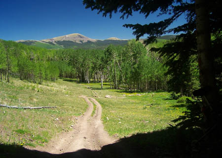
< Left Panel   Co:h6   Colorado Passes and Summits   Areas   Tables   Maps   All Favorites   LinkMap   This Pass
Main Panel:   Main Page   No Text   Map+Profile   Colorado Map  


TR898 shoulder summit: Shady Creek

Highest Point:
11380ft

Western Approach:

drop
from jct Del Norte Peak Road (FR345) - US160, east of South Fork (8150ft) 3230ft 10+1/2miles
Eastern Approach:


from jct FR14 -US160, west of Del Norte (7900ft) 3480ft 19miles ~700ft
from Pinos Creek crossing (9209ft) 2171ft 3+1/2miles


Picture locations: bottom to top: 1: TR898 on west side after having crossed FR345 while descending along Shady Creek. 2: view of San Luis Valley from meadow adjacent to summit. 3. summit meadow