|
|
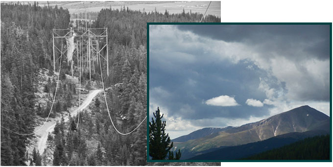
Sugarloaf Pass
Highest Point: 11160ft
|
| Northern Approach: |
|
|
drop |
| from southern Turquoise
Lake access rd, crossing CR9, via
soutern side of Turquoise Lake rd
(9700ft) |
1460ft |
8+1/2miles |
~100ft
|
| Southern Approach: |
|
|
|
| from unmarked trailhead,
near Lake Fork, north of Co300, via
powerline route 9570(ft) |
1590ft |
4+1/2miles |
~100ft
|

|
|
|