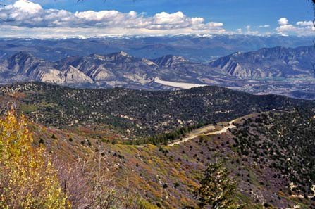
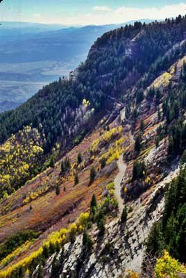
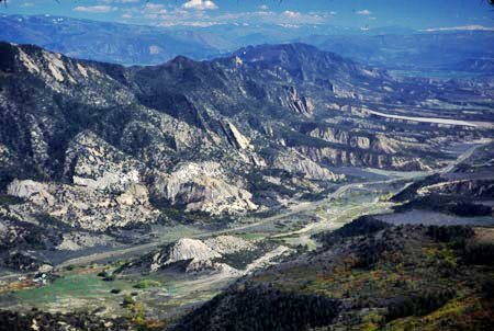
Roan
Plateau summit(u) (Summary)
Highest Point: 9220ft
|
|
Eastern Approach:
|
|
|
drop
|
from south end of Rifle, via
245rd (5290ft)
|
3930ft
|
16miles
|
~300ft
|
Western Approach:
|
|
|
|
from south end of Rifle, via
Cow Creek rd (5290ft)
|
3930ft
|
41miles
|
~1200ft
|
from junction Cow Creek rd
with paved road (7000ft)
|
2220ft
|
18miles
|
~700ft
|