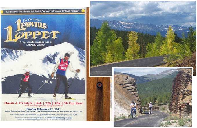
Mineral
Belt bike path s(u)
Highest Point: 10614ft
|
| Northern
Approach: |
|
|
drop |
| from jct CR99 -
Mountain View Drive, Leadville
Jct (9816ft) |
798ft |
6.8miles |
|
| from jct Poplar
St - E12th St, Leadville
(10210ft) |
404ft |
3.6miles |
|
| Southern
Approach: |
|
|
|
| from jct CR99 -
CR4 (9777ft) |
837ft |
6.2miles |
`100ft
|
| from Mineral Belt
Trail crosses US24, south of
Leadville (9970ft) |
644ft |
9.1miles |
~200ft
|