< Left Panel
Colorado Summits and Passes
Areas
Tables
Maps
All Favorites
Main Panel:
Main Page
Map+Profile
Picture Page
Colorado Map
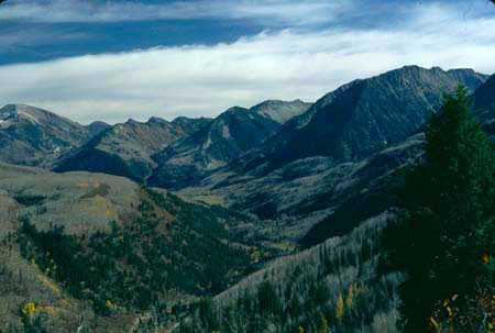
Mc Lure Pass
(summary)
Elevation/Highest Point:
8763ft
Northern Approach:
paved road
climb
distance
drop
from Carbondale (6166ft)
2597 ft
25 1/2 miles
from Redstone (7196ft)
1567 ft
10 1/2 miles
Southern Approach:
paved road
from Paonia (5676ft)
3087 ft
33 miles
~300ft
from Kebler Pass turnoff (6416ft)
2347 ft
17 1/2 miles
~200ft