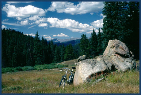
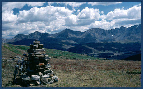
Kokomo
Pass (Summary)
Highest Point: 12022ft
Public access on the
route in the profile is closed on the east
side, between the Fremont Pass road and
the trail above the road. The profiled
route crosses poperty controlled by the
Climax Molybdenum Mine. For a route over
Kokomo pass, completely on publicly
accessible land see the Searle Pass route,
which also goes over Kokomo Pass.
|