|
|
FR801
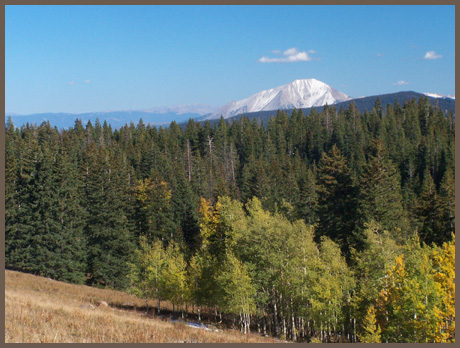
summit(u): Flagpole Mountain (Summary)
Highest Point: 10400ft |
|
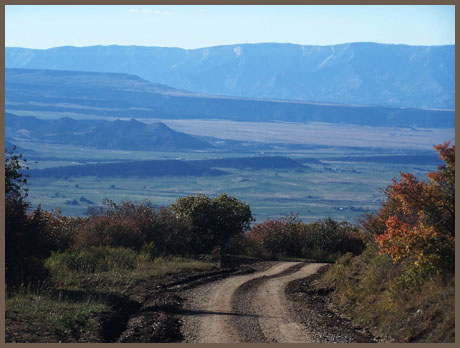
| Eastern Approach: |
|
|
drop |
| from jct: Divide Creek Road -
CR south of Colorado River, via East Divide
Creek Road (5470ft) |
4930ft |
25+1/2miles |
~100ft
|
| Western Approach: |
|
|
|
| from same point as above via
road following Alkali Creek (5470ft) |
4930ft |
25miles |
|
|
|
|