| Blue
Mesa Summit
Summit/highest elevation: 8704 ft
|
|
Eastern Approach:
|
|
|
drop |
from Blue
Mesa Reservoir (7530ft)
|
1174ft~358m
|
15+1/2miles~25km
|
~200ft~60m
|
from Sapinero
(7580ft)
|
1124ft~343m
|
12miles~19km
|
~200ft~60m
|
from low point after
intermediate summit (8300ft)
|
404 ft~123m
|
2 miles~3.2km
|
|
Western Approach
|
|
|
|
| low point in
Cimarron Canyon (6700ft) |
2004ft~611m
|
9+1/2miles~32.5km
|
|
from Cimarron (6880ft)
|
1824ft~556m
|
9 miles~14.5km
|
|
|
----------
View Larger Map
----------
|
Pictures:
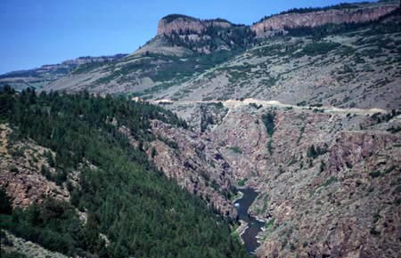
Picture 1 shows the road up to Black Mesa
summit(u), seem from US50 climbing Blue Mesa
Summit.
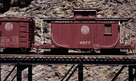
Pictures 2 and 3 show the DRG railroad
exhibit near Cimarron, at the start of the
western approach. |
 1
1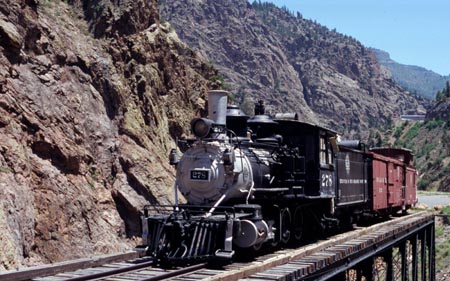 2
2