Black
Mountain Road summit(u)
Highest Point: 8920ft
|
| Northern Approach: |
|
|
drop |
| from Morrison via Bear Creek
Canyon and Evergreen (5800ft) |
3120ft |
19+1/2miles |
|
| from Evergreen (7040ft) |
1880ft |
9miles |
|
| Southern Approach: |
|
|
|
| from Morrison via US285
(5800ft) |
3120ft |
20miles |
~300ft
|
This summit
is often referred to by road names of the route
below the summit: These are: Shadow Mountain Rd
from Conifer and Brook Forest Rd from Evergreen.
The
route shown in the profile goes up 4 lane
US285 as southern approach, since this is the
most direct. Better and longer cyling routes
use Deer Creek Canyon, South Turkey Creek
Canyon, North Turkey Creek Canyon, Blue Creek
Rd. Pleasant Park Rd and others. - See the
ride statistics for more details.
|
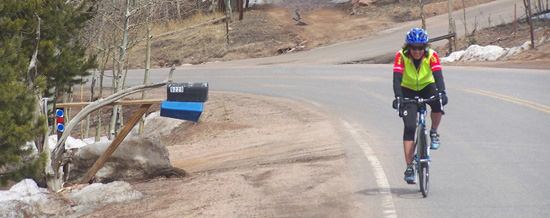
should
I smile or grimace with pain ?? -
approaching summit
|
|